| SHOWN ARE VARIOUS TYPES OF IMAGES SAMPLING A BROAD RANGE USED FOR RESEARCH AND DEVELOPMENT | ||
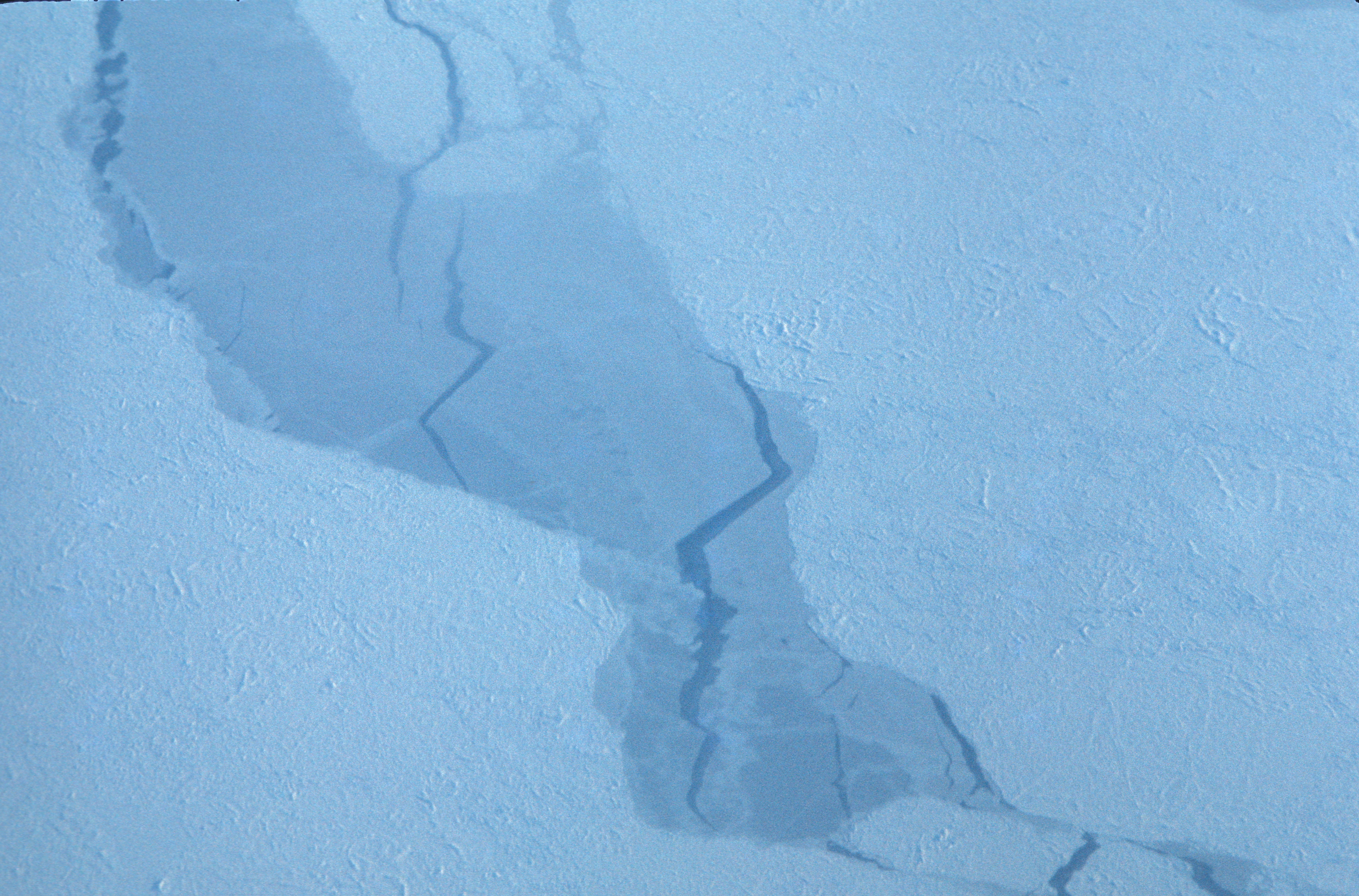
Alaska Beaufort Sea Ice on |
Alaska Beaufort Sea Ice, |
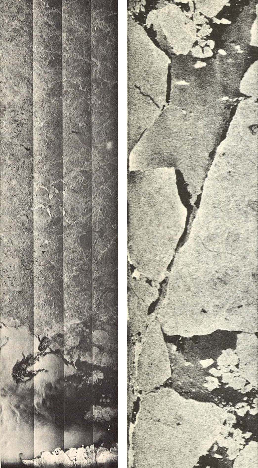
Apollo 17 Lunar Sounder ALSE |
Magellan’s Venus stereo image pair from synthetic aperture radar imaging sensor for 3D shape reconstruction by both a stereo as well a shape from shading approach |
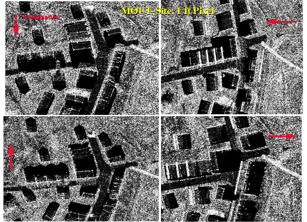
Aerial synthetic aperture radar at 30 cm resolution over a few buildings, flown in 4 directions for detailed 3D modeling of buildings. Note flight directions. |
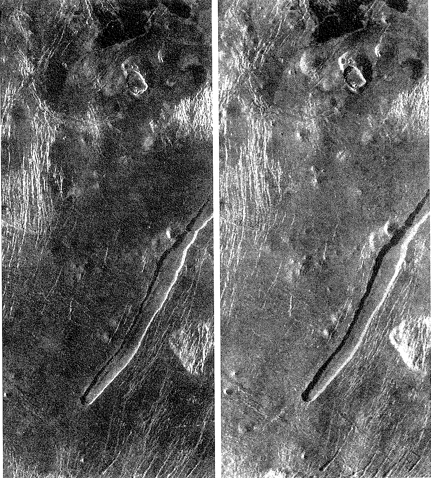
Synthetic aperture radar image of a transmission tower next to a water body, suited to develop an understanding of radar imaging geometry and radar mirror images |
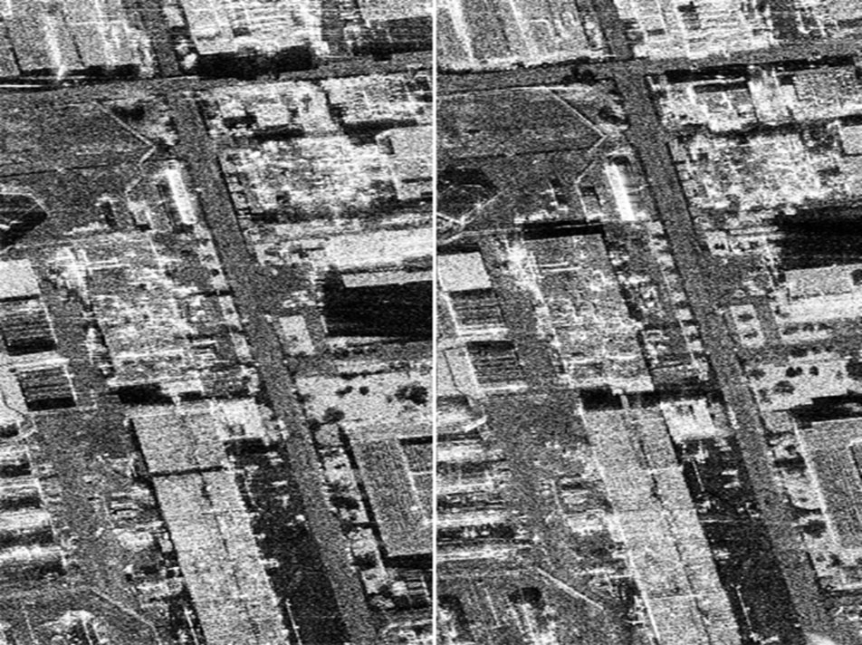
Stereo pair of aerial synthetic aperture radar SAR images at 30 cm pixels for 3D urban modeling |
Oblique aerial photography of a Graz scene for urban internet mapping |
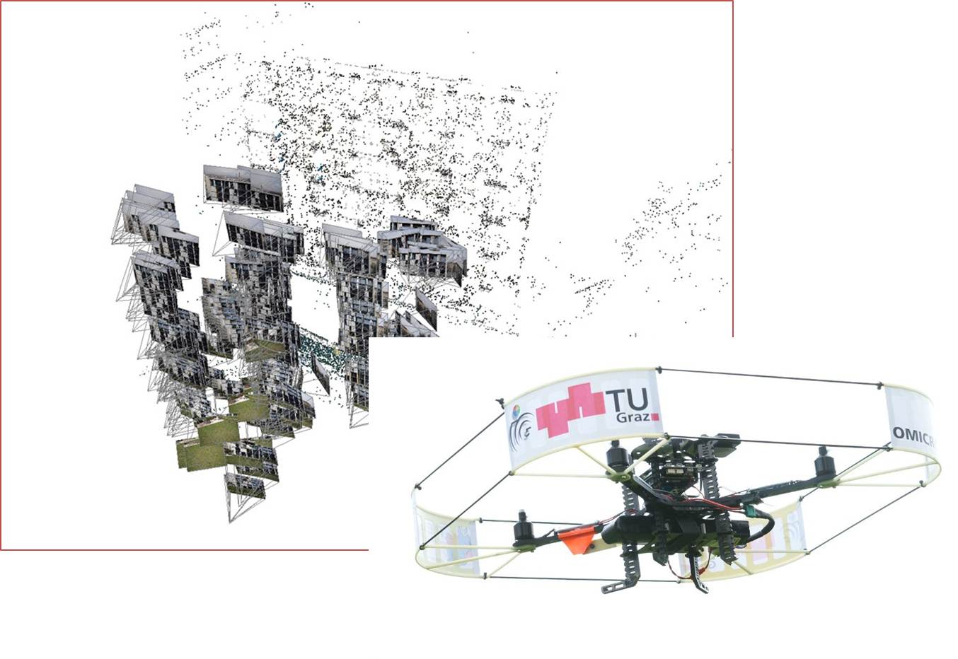
Micro-Aerial Vehicles MAVs for 3D urban mapping: Image block and coarse point cloud | quadcopter with camera, CPU and storage |

Archeology: images for 3D photorealistic modeling –Example Sagalassos | Turkey |
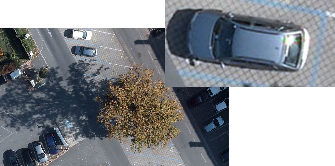
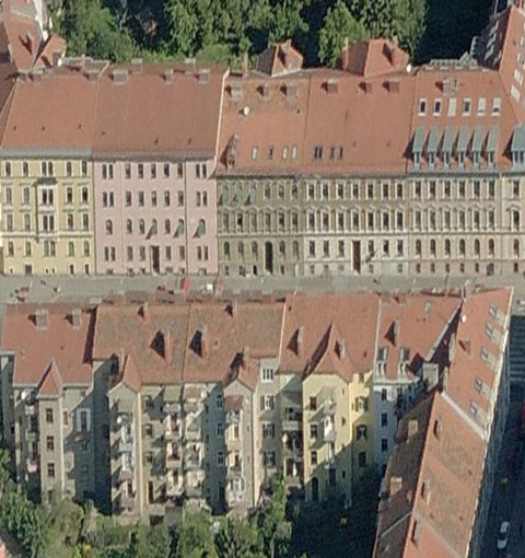
Aerial photos with 3 cm pixels for detailed urban modeling |
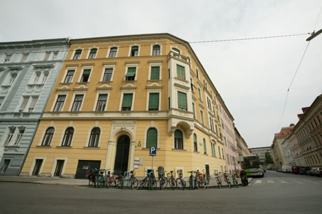
Street side photography of facades for 3D urban modeling and internet mapping |

UltraCam aerial photo of glacier & rocks. Back is overview. Foreground is enhanced radiometry –Note rock detail in the shadow area to illustrate high density range. |
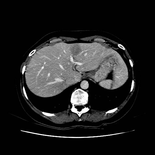
CT Scan of liver with tumor as input to 3D tumor shape and location modeling |
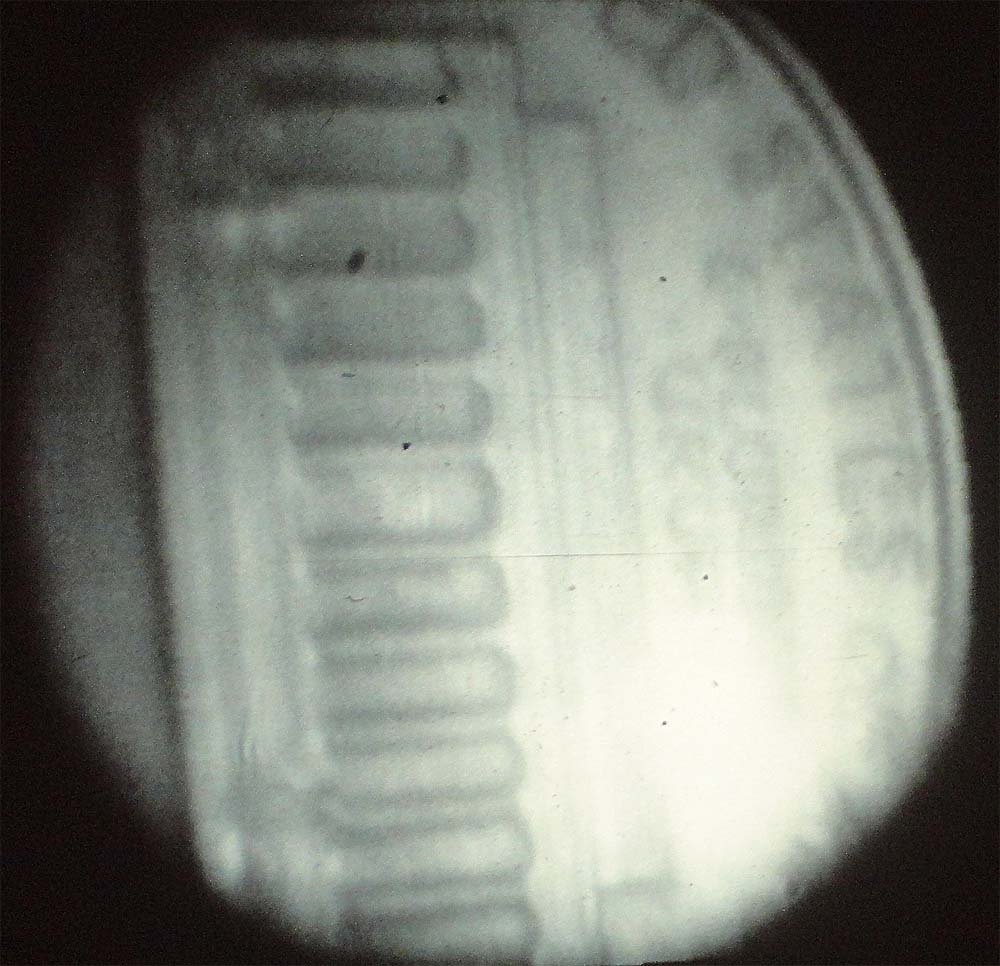
Endoscopic test image of a US coin for research on 3D models from endoscopic stereo image pairs |
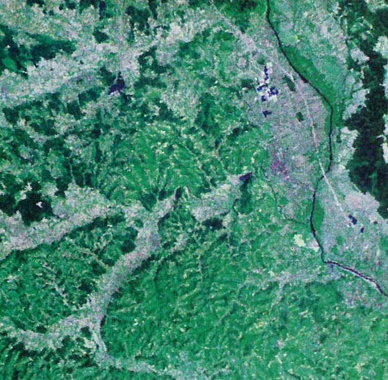
Landsat Image of Graz with dark River Mur and bright freeway (1983) |
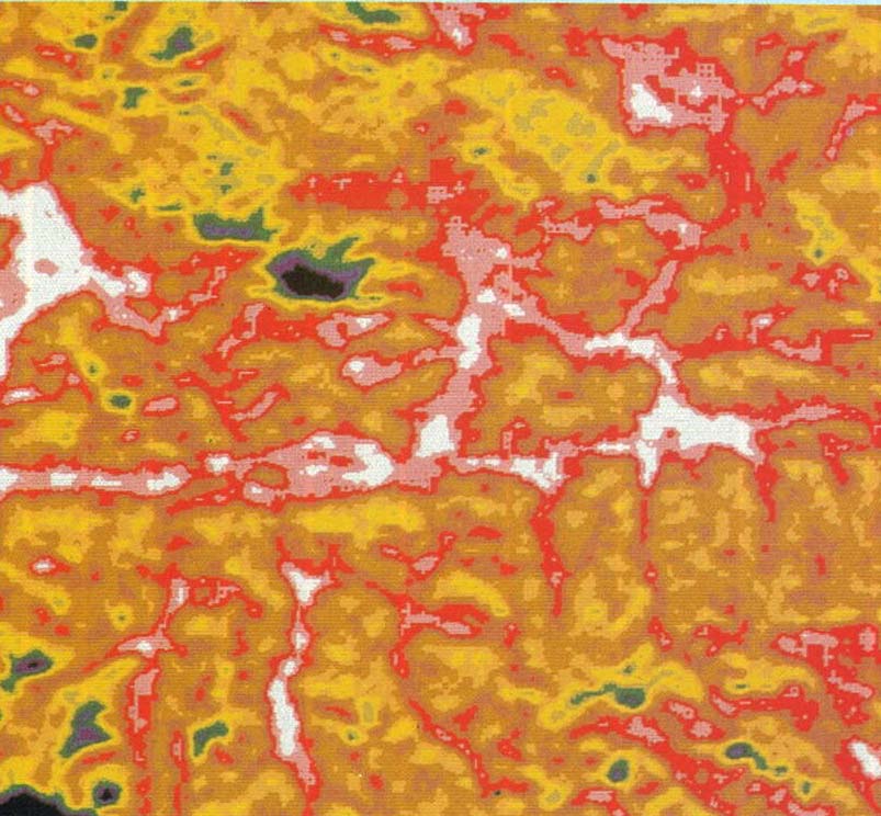
HCMM Thermal Satellite Image of Salzburg-Province (1980) |
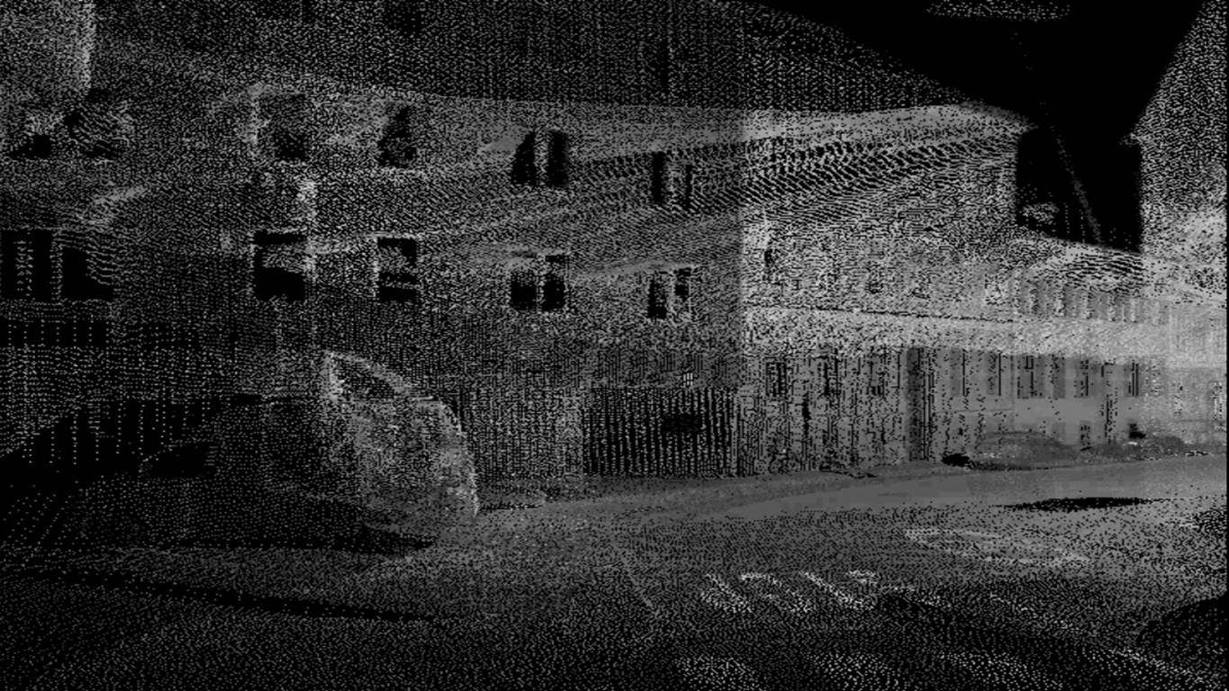
LiDAR Point Clouds of Graz Street Canyon from Moving Vehicle (2007) |